The Gippsland region covers southern Victoria east of Greater Melbourne, including the coastline from eastern Port Phillip Bay all the way to the NSW border as well as the land south of the highest mountains of the Great Dividing Range. It is a large and varied region, from the high mountain ranges down to the coast. As well as similar habitat types to Western Victoria such as extensive eucalypt forests, majestic Mountain Ash forests, cool temperate rainforest, coastal heathlands and wetlands, Gippsland being directly connected to the Great Dividing Range stretching up into Queensland and with a warm temperate environment in the far east Gippsland has warm temperate rainforest areas and a wide range of birds and plants that reach the southern limits of their Australian range
GEOLOGY :
The Eastern Highlands of Victoria are the result of recent (Tertiary) uplift of 400 million year old sedimentary rocks. Soils on the ridges and upper slopes are typically shallow, with deeper more fertile soils elsewhere. There are also some mountains composed of volcanic rocks of a similar age exposed by erosion.
The Gippsland plains region, which is now largely agricultural, is the low lying land south of the ranges down to the coast and as far east as Lakes Entrance. Formed from recent (Tertiary) sediments and underlain with marine and non marine sediments such as brown coals, clays, sands and gravels
Wilson’s Promontory, Australia’s southern most mainland point is composed entirely of a granitic bedrock of Devonian origin, the northern limits of a formation stretching down to eastern Tasmania.
The isolated Strzlecki Ranges in west Gippsland are geologically similar to the Otway ranges, consisting of Cretaceous period rock formations (100 to 140 million years ago) of shale, mudstone and sandstones.
East Gippsland, from Lakes Entrance to the NSW border, holds several major granitic massifs, of Devonian origin 360 + million years old. Extensive areas of sands and gravels occur in river valleys and the coastal strips are mostly recently formed Quaternary deposits forming sand dunes. Coastal swamps exist on some low lying flat land.

Salmon rocks at Cape Conran
CLIMATE :
The climate in much of west and south Gippsland is very similar to the Western Victoria climate receiving between 500 and 1000 mms of rainfall annually with the higher totals closer to the coast and in hilly country. Again there are exceptions to this with the mountains of the Strzlecki ranges, the Great Dividing Range up in the sub-alpine areas, and Wilsons Promontory all receiving in excess of 1000mms annually and up to 1800 mms in the wettest parts.
In East Gippsland however the climate shifts and is influenced more by warm moist subtropical air from the Tasman sea off the NSW coast. Rainfall patterns here are more uniform through the year, in the 800 - 1200 mm range annually and temperatures, especially near the coast, are very mild and sheltered from the extremes that can occur throughout most of the rest of Victoria.
VEGETATION TYPES :
The foothills of the Eastern highlands are predominantly Eucalypt dominated forest. Wetter and more fertile sites support a “wet sclerophyll” forest, where trees are commonly 40 plus metres high and with a dense understory. Mountain Ash (Eucalyptus regnans) is the worlds tallest flowering plant and is mostly found in the ranges north-east from Melbourne (dealt with under Melbourne and surrounds) but also in the Strzlecki ranges. Forests dominated by Messmate (E.Obliqua), Peppermint (E. radiata) and Gums such as Manna Gum (E.Viminlais), Mountain Grey Gum (E.cypellocarpa), Blue Gum (E.globulus) and Shining Gum (E.Nitens) are widespread below 1000 metres Poorer shallower soils below 1000 metres can be dominated by Silvertop Ash (E. sieberi) and a variety of Stringybarks forming a tall open forest with a diversity of tall and medium shrubs. High rainfall cool wet sites protected from wildfire can support cool temperate rainforest, as in the Otways, with Nothofagus cunninghamii (Myrtle Beech) dominating (eg in the Strzleckis, Central highlands and Errinundra NP)
The Gippsland plains have lost most of their original vegetation to agriculture and closer to Melbourne to housing. Habitats ranged from wet and dry sclerophyll forests, to grassy woodlands, banksia woodlands and heathlands dominated by Tea-tree (Leptospermum). Pockets of all these habitats remain. In coastal sites, such as Westernport bay, areas of White Mangrove occur in tidal areas, as well as saltmarsh dominated by Glasswort (Sarcocornia). Many areas of sedgeland and swamp have been drained.

Banksia flower and cone
East Gippsland closer to the coast also supports extensive open forests of Silvertop Ash and Stringybarks. Shrub layers have the Proteaceae well represented with Banksias Hakeas and Persoonias. There is a wide diversity of other tree and shrub species found in the region, with past logging and fire histories important factors in their makeup.
Warm temperate rainforests, of a kind more commonly found further north up the east coast of Australia exist in pockets of East Gippsland usually in the lowlands and close to the rivers and creeks. Dominated by Lilly-pilly (Acmena smithii) which forms a dense low canopy of evergreen foliage, quite unlike the eucalypt dominated areas. Other co-dominant trees and large shrubs occurring include Acacia melanoxylon (Blackwood), Eleocarpus reticulatus (Blue Oliveberry), Bedfordia arborescens (Blanket-leaf) and Pittosporum undulatum (Sweet Pittosporum). Of great interest is a site containing Victoria’s only Cabbage tree palms near Orbost. These are some 200 kms from the nearest site in Bega,NSW.
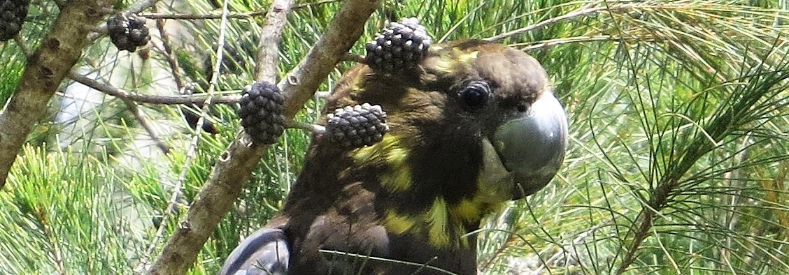
The coastal vegetation includes Banksia woodlands, and coastal heathlands of predominantly Allocasuarina, Leptospermum and Xanthorrhoea. These heaths are of great interest to birdwatchers as home to the Eastern Ground Parrot, Southern Emu-wren and Eastern Bristlebird (just found at Howe flat)

Flowering Grass-trees Xanthorrhoea
SITE DESCRIPTIONS :
Westernport Bay

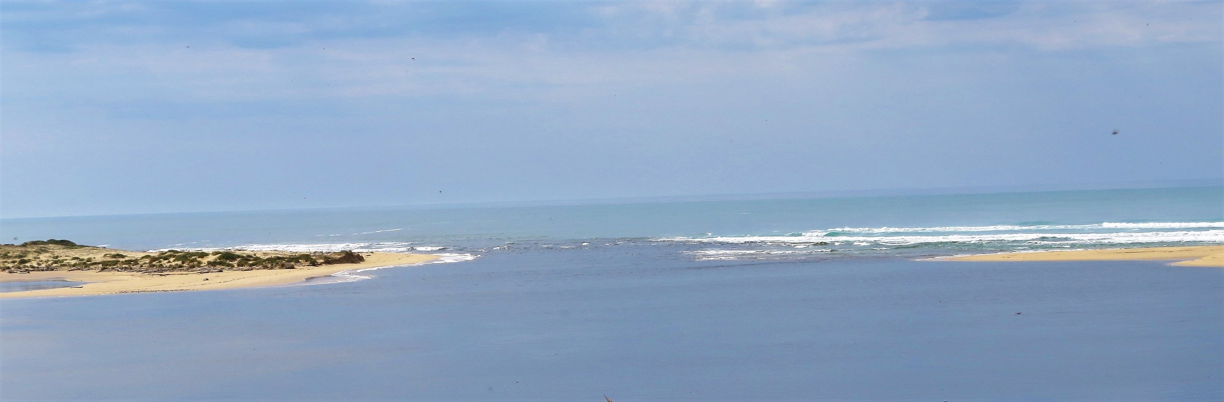
Westernport bay is of international significance for it’s tidal areas supporting significant numbers of migratory shorebirds. Some sites allowing reasonable viewing include Stockyard Point. On the east side of the bay drive down to Jam Jerrup and park then walk south along the beach to the point (takes around half an hour). This site is very tide dependent. Birds roost there at high tide, but access is not always possible then so arriving a couple of hours before high tide and leaving a couple of hours after high tide is the best option. Also the higher the tide the better, some tides don’t produce many birds.Beware the mud at this site, it is not safe to walk out on the mudlfats. Both Australian and Gull-billed Terns are regular, as well as a wide variety of shorebirds including occasional local rarities Reef island is further south closer to Phillip island. Park at the end of Bluff road and walk south. The coastline here is accessible whatever the tide but the island is only accessible around low tide, and it is very dangerous to cross at any other time with strong currents. It is a site for Grey-tailed Tattler, Pacific Golden Plover, Double-banded Plover, Eastern Curlew and Turnstone amongst others. Also walking further south around the coast can be worthwhile with many shorebirds using the mudflats. Birds move through the area heading to roost on a rising tide so waiting on the shoreline opposite the island then can be quite productive. The Bass River Mouth Nature reserve just to the south is also of interest, walk from the end of Bass Landing road.

3. Rhyll inlet is on Phillip island. The crossing over to the island often has some birds around then at the end of McIlwraith road walking along the coast provides views across Rhyll inlet. A scope is needed here. Whimbrel are fairly regular here 4. French Island is in the middle of Westernport. It is significant for being free of foxes, as is Phillip island. A ferry runs from Crib Point to Tankerton. The nearby Tortoise head is a regular roost for shorebirds
Wilsons Promontory NP and surrounds
One of Victoria’s most loved National Parks for its rugged beauty, “The Prom” as it is affectionately known is the southernmost tip of mainland Australia and a great place to go birding. There are great camping and hiking opportunities, it does however get extremely busy in holidays through summer, when pre-booking camping or accommodation is necessary.
Getting there: Leave Melbourne on the Monash Freeway, and follow signs for the South Gippsland Highway. Some 230 kms south east of Melbourne, allow at least three hours travel time.
Key sites:
Cape Liptrap Coastal Park and Andersons Inlet: Accessed via Inverloch, this section of coastline is well worth exploring, for coastal heathland birds and great scenery. Best areas for access are around Venus Bay, Walkerville and Waratah Bay. Olive Whistler, Beautiful Firetail and Southern Emu-wren may all be seen amongst others.
Shallow Inlet and Corner Inlet: These two bays have extensive intertidal mudflats and are amongst the most important sites for migratory shorebirds in Victoria, particularly the extraordinary Eastern Curlew. Before entering the park, the road to Duck point provides some views of Corner inlet.
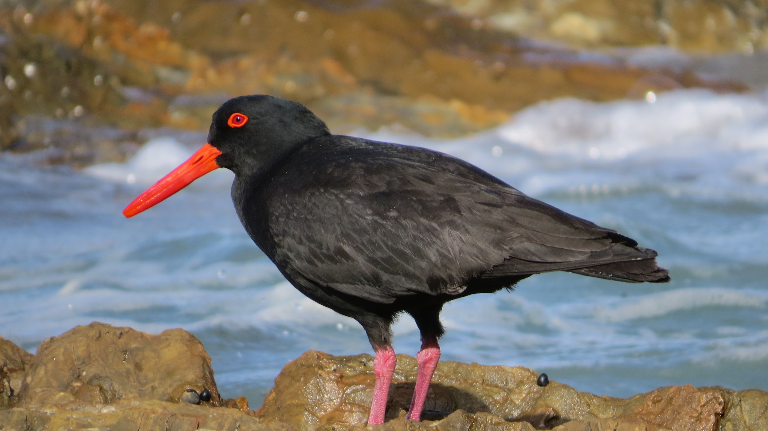
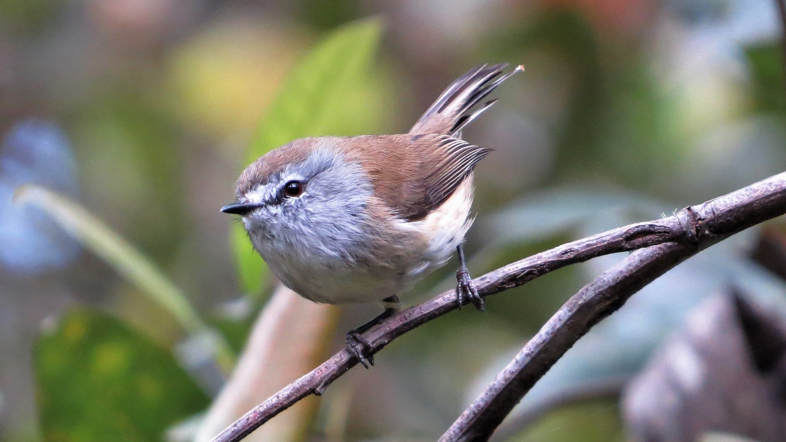
Once in the National Park, the road to Millers landing also provides views of Corner inlet where many waders, duck and terns may be present. The Millers landing road also passes through coastal heathland where Southern Emu-wren and Ground Parrot occur.Cotters lake is a worthwhile detour with many possibilities such as Crescent Honeyeater, Striated Fieldwren and Blue-winged Parrot in summer. Ground parrots have been recorded between here and the Darby river. Tidal River is the main centre for park facilities. Many of the birds in this area and around the campsite have become quite tame. Wombats are common ! Sooty Oystercatchers and Black-faced Cormorant are regular around the rocky coastlines, Hooded Plovers are to be seen at many of the beaches, and Forest Raven is the most regularly observed Corvid in the park. Try the Tidal Overlook track for Beautiful Firetail and Lilly Pilly Gully is a nice walk through temperate rainforest where Brown Gerygone is to be found.
Key Species:Emu, Black-faced Cormorant, Hooded Plover, Brush Bronzewing, Gang Gang Cockatoo, Southern Emu-wren, Crescent Honeyeater, Olive Whistler, Forest Raven, Flame Robin in summer, Bassian Thrush, Beautiful Firetail
Sale, Bairnsdale and Lakes Entrance
Roughly a three hour drive east from Melbourne further into Gippsland the human population starts to thin out and extensive forested areas extend inland to the Great Dividing Range. Birding opportunities are far too many to mention here, but a few well known sites listed below are a good place to start.
Getting there: Simply follow the Princes highway from Melbourne.
Key sites: Jack Smith Lake: Access off Sth Gippsland Hwy between Yarram and Sale. Best access is to the north-east section off Middle road (the Giffard road). Also access the south-west off Stringybark lane. The lake can hold large numbers of waders especially in late summer, which can include Avocets and Stilts. Blue-winged Parrots and Striated Fieldwren in the surrounds.
Sale Common: Near the town of Sale there are many small and larger wetlands with some reasonable access. Lake Guyett (adjacent to Lake Gutheridge) near town is well worth checking. Freckled Duck are reasonably regular here, and a colony of Royal Spoonbills breed each year on islands. South of Sale, accessed either from the South Gippsland Hwy or Stephenson st, the Sale Common has some extensive walking tracks and boardwalks, although open water is sometimes hard to find with the area choked by Phragmites. A good lookout is on the Swing Bridge road, and then from the bridge tracks follow the LaTrobe river. Look out for Latham’s Snipe, Swamp Harrier, Spoonbills and Stilts, various duck and other shorebirds when water levels fall. Yellow Thornbills inhabit adjacent Melaleuca scrub, and Rails and Crakes are present but not many open areas to see them.
Macleods Morass: A wetland with extensive reedbeds on the outskirts of Bairnsdale has well made walking tracks and some bird hides. Rails and Crakes are a possibility here as well as raptors, Little grassbirds, Yellow Thornbill etc.
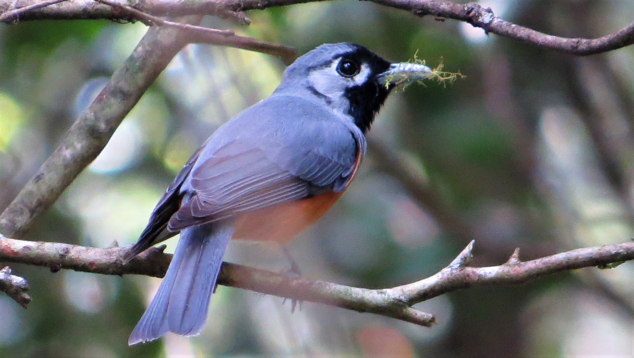
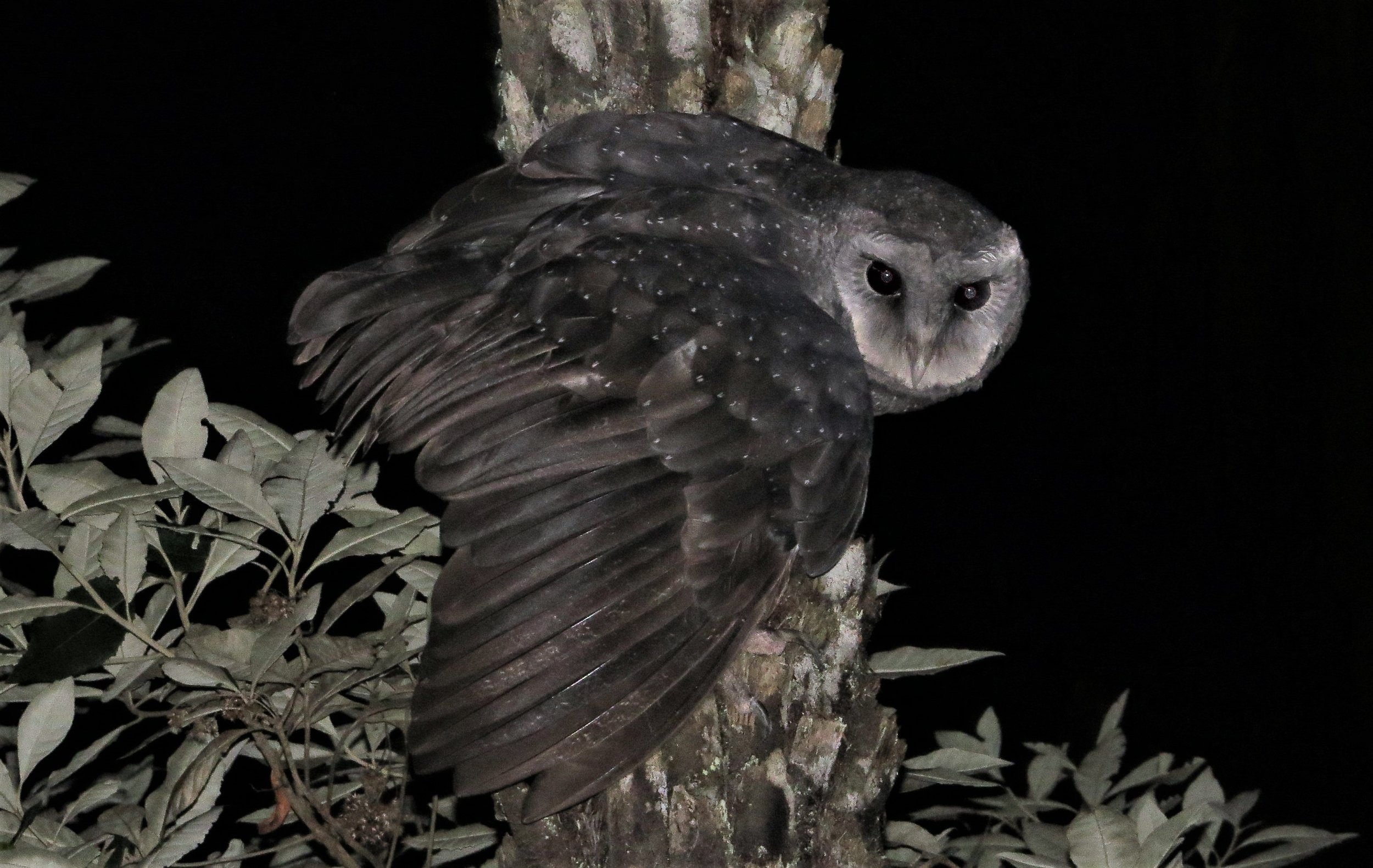
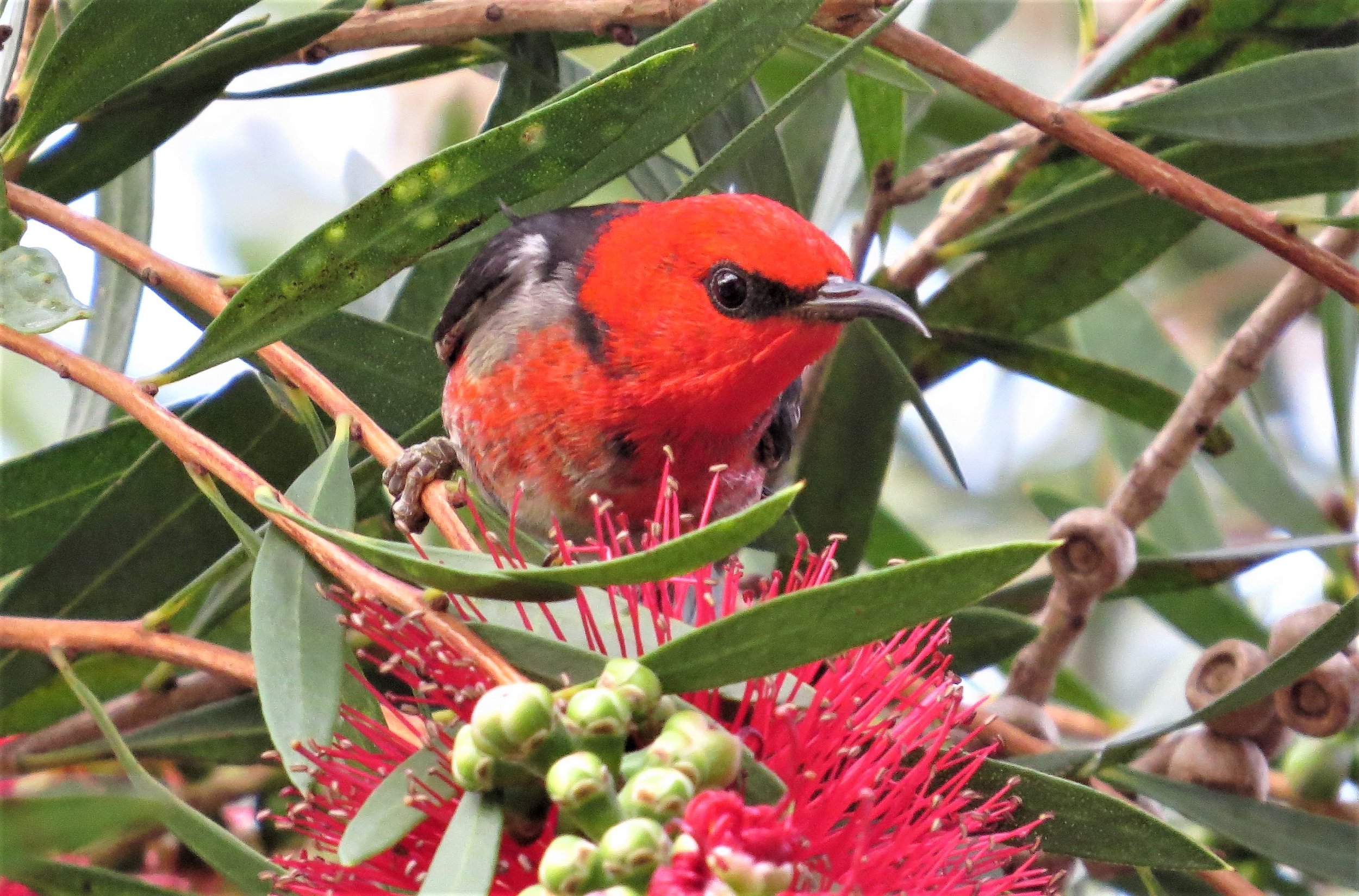
Mitchell River NP: (unaffected by Jan 2020 fires) The C601 heads NW from Bairnsdale towards Omeo passing the Mitchell River NP. Much of the park is made up of drier hilly country with White Box, Ironbark and Stringybark woodlands dissected by the gorges of the Mitchell river winding its way through. A very scenic area with some good access points for birding include The Den of Nargun ( a shady gully), the Amphitheatre and Angus Vale. Just driving the many tracks will produce good sightings on the way. A wide range of species occur here making it well worth a visit. Superb Lyrebird, Satin Bowerbird, Powerful, Sooty and Masked Owls (all rare and hard to see), Scarlet Honeyeater, Wonga Pigeon, Brown Gerygone, Spotted Quail-thrush, and Rose Robin to mention a few.
Fairy Dell: NOTE in January 2020 this area sadly burnt out. 5.5 kms NW of Bruthen along Deep Creek road is Fairy Dell, a densely forested gully with some great birding. The drive in passes through typical eucalypt forest with Wonga Pigeon amongst others. At the Dell the denser shaded parts attract Superb Lyrebird, Satin Bowerbird, Bassian Thrush and Black-faced Monarch whilst the surrounding eucalypt forest is alive with species such as Rose Robin, White-throated Gerygone, Scarlet Honeyeater and Cicadabird in season.
Metung: Fig trees in the small township of Metung have attracted Channel-billed Cuckoo, Figbird and Koel over the last few summers. Try Mairburn road and the foreshore reserve.
Colquhuon State Forest: (escaped the Jan 2020 fires) Just to the north of Lakes Entrance this forest is quite extensive with Stringybark and Ironbark, and some wetter gullys. Logging still occurs here (regrowth areas can be interesting) and regular controlled burns have affected the understory however it is a worthwhile area and quite good for Spotted Quail-thrush. The Old Trestle Bridge site has a colony of Yellow-tufted Honeyeater and Cicdadabird is a summer visitor. Log Crossing picnic ground on Uncles track is one site giving access to the Mississippi creek with its lush creekside vegetation where Lyrebird, Satin Bowerbird, Rose Robin and Gang-gang Cockatoo may be found. Can be good for Scarlet Honeyeater too when there’s flowering..
Nyerimilang Park: (escaped the Jan 2020 fires) Between Metung and Lakes Entrance is the small reserve of Nyerimilang Park run by Parks Victoria. Views across the coast as well as some nice forest including a rainforest gully, make this a really interesting site with a wide mix of birdlife from White-bellied Sea-Eagles to Brown Gerygones and Rose Robins.
Lake Tyers State Park: (unaffected by Jan 2020 fires) Some good habitat here bordering the the creeks and inlets. Views of Lake Tyers itself can be had from the the edge of Lake Tyers township or The Glasshouses on the east side and will produce waterbirds, waders and terns. Close to Lakes Entrance Burnt Bridge road and Peterson road provide access through tall open forest. Off Burnt bridge road Cherry tree track takes you down to the creek where Azure Kingfishers are often seen. On the way the Marsdenia Rainforest walk takes you into a warm temperate rainforest and is very birdy despite being next to the highway. Pile Bay track on the east side of Toorloo arm takes you through more magnificent open forest to a great lookout across Lake Tyers with WBSea Eagles.

The Eastern section of Lake Tyers State Park, south of Tostaree and down to Glasshouses is equally as interesting. Various tracks will take you down to the Trident Arm passing through quality habitat. Pettmans Beach is an area of dunes with Banksia woodland on the boundary of Lake Tyers SP and Ewing’s Morass and is quite birdy especially when the Banksias are flowering. Spotted Quail-thrush are throughout the forested areas, wetter gullys have Superb Lyrebirds, and Cicadabird visit in summer. Some decent patches of Casuarina grow here eg near Old Orbost road and Montas break in the adjacent Ewing’s Morass, and Glossy Black-cockatoo may be seen with a large dose of good luck.
Spotlighting anywhere in the area may be worthwhile with both Masked and Sooty Owls resident.
Nowa Nowa: At the top end of Lake Tyers, this locality has access to the Boggy creek where Sea-Eagles and Azure Kingfishers occur. Other wetland birds may be seen as well with Nankeen Night-herons sometimes roosting in the area. Best access is near the Nowa Nowa Recreation reserve
Canni Creek: This site is around the racecourse and golf club south of Buchan. Coming from the south turn right just after crossing the Canni creek and park near the racecourse. The site preserves some rare vegetation communities and attracts an interesting mix of birds including Turquoise Parrot, Bell Miner, Chestnut-rumped Heathwren, Diamond Firetail and Southern Emu-wren plus a wide range of open woodland species.
Key Species: Sooty Owl, Masked Owl, Powerful Owl, Superb Lyrebird, Satin Bowerbird, Azure Kingfisher, Cicadabird, Scarlet Honeyeater, Spotted Quail-thrush, Wonga Pigeon, Black-faced Monarch, Bassian Thrush, Turquoise Parrot, Glossy Black-cockatoo.
Marlo and Cape Conran Coastal Park
Pushing further on into the wilds of East Gippsland, as you get closer to Croajingolong NP and the border with NSW, it is a must to detour and spend some time in the area between Marlo and Bemm river. Cape Conran coastal park preserves a range of habitats and has an extensive bird list. NOTE: in January 2020 large sections of this park were burnt out, recovery will have begun.
Getting there: 420 km east of Melbourne and 530 km south of Sydney this park may be accessed from Marlo in the west, via the Cabbage tree Conran road, or via Bemm river in the east
Key sites: Cabbage Tree reserve (not burnt in Jan 2020): Accessed off the Marlo Cabbage tree road, this reserve on the Cabbage Tree creek preserves a large stand of Cabbage Tree palms, Victoria’s only palm species. It is an exceptional birding site with the usual wet forest species and the chance of east coast species rare in Victoria such as Top-Knot Pigeon. Pilotbird are here as are Black-faced Monarch, Azure Kingfisher, Sooty Owl, Superb Lyrebird, Scarlet and Crescent Honeyeater, and much more. Masked Owls are in the surrounding area, preferring sites with a mix of habitats such as heathland and forest.
West Cape (Cape Conran): This lookout provides ocean views where seabirds may be observed in windy weather. Pilotbirds and Whipbirds live in the scrub.
Yeerung River Road (Burnt in Jan 2020): The main camp ground and park information is based off this road. The area and drive has a range of forest and heathland with a wide mix of birds. The heaths hold Southern Emu-wren and Ground Parrot. Scarlet Honeyeaters can be common, and both Bandicoots and Potoroos come out at night! This is one of the best areas in Victoria to see White-throated Needletails in the summer.
Old Coast Road (Burnt in Jan 2020): From the Cabbage tree- Conran road right through to near Bemm river, this well-formed unsealed road is great for birding and passes through a range of vegetation types. Many of the parks bird species can be found along this road, which is also a regular site for Turquoise Parrot. Glossy Black Cockatoos and Ground Parrots are both possible. Also good for night-birding with White-throated Nightjar, Powerful Owl and various four legged critters.
Bemm River: At the eastern end of the park, and the start of Croajingolong, this small holiday centre has excellent natural values and access back into Cape Conran via the Pearl Point road. The Bemm river itself has some beautiful riverine forest alongside, with Dolly’s Garden a nice place to try some birding. As with other parts of East Gippsland where the habitat is in good shape, both Masked and Sooty Owls are known to frequent the area
Key Species: Masked Owl, Sooty Owl, Powerful Owl, Top-knot Pigeon, Wonga Pigeon, Turquoise Parrot, Ground Parrot, Glossy Black-cockatoo, Superb Lyrebird, White-throated Needletail, Southern Emu-wren, Scarlet Honeyeater, Pilotbird, Black-faced Monarch, Beautiful Firetail

Croajingalong National Park and Mallacoota
NOTE: Most of Croajingalong NP and land around Mallacoota was burnt in wildfires in January 2020 and is still recovering.
Preserving a long stretch of coastline right to the border with NSW, as well as extensive coastal forests and heathlands, Croajingolong is a place to explore, unwind and marvel at. Track conditions vary so checking with the parks web page is useful. The unspoilt coastline is simply magnificent.
Getting there: Located some 450 km east of Melbourne and 500 km south of Sydney, access is via any number of country roads and tracks leading off the Princes Hwy. From Genoa the road to Mallacoota provides access to a range of worthwhile areas where most of the habitat types can be explored.
Key sites: Good tracks in to Point Hicks and Wingan Inlet give access to some of the western section of the park.
Gypsy Point situated in the upper reaches of the Mallacoota inlet has a worthwhile walk out on a peninsula of land to the junction of the Genoa and the Wallagaraugh rivers and this escaped the recent fires. Top-knot Pigeons are being seen with more regularity in the Gypsy Point area, whilst both Striated Heron and rarely Black Bittern frequent the fringing vegetation especially up to the left of the jetty. Hiring a boat or canoe is a possible way to see these species but check tides before heading out.
Double Creek Rainforest walk on the Mallacoota road is an excellent section of lowland temperate rainforest with the typical range of species including Scarlet Honeyeater and Black-faced Monarch. On the opposite side of the road a walking track follows the Double creek
Shady Gully Bushland Reserve is another area of temperate rainforest near Mallacoota with an easy walk through. Powerful Owl sometimes roosts here.
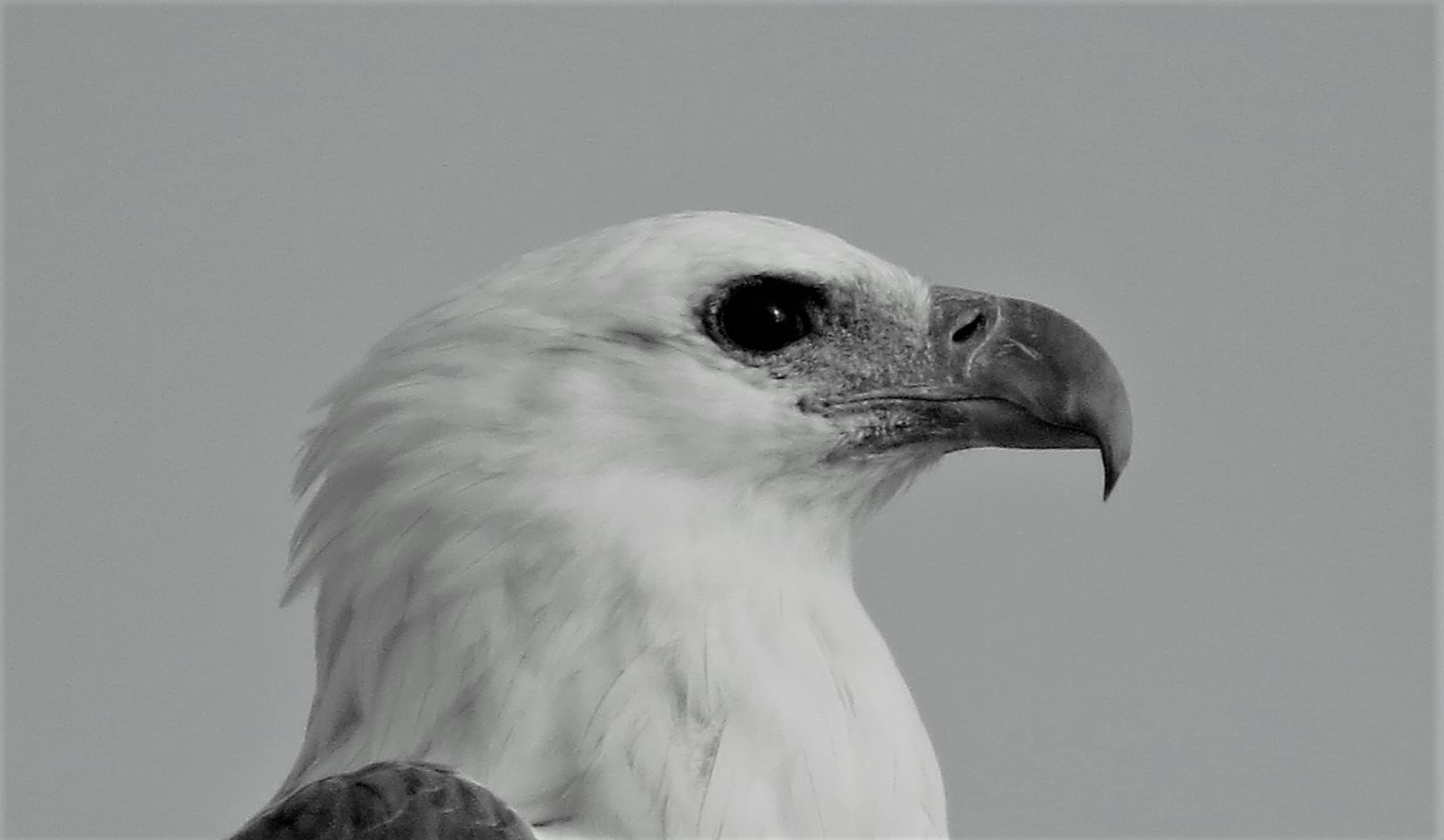
Mallacoota Foreshore Camping Ground and Captain Stevens Point these sites provide magnificent views of the inlet. Waders feed here at low tide, Sea-Eagles are never far away, and various other Terns, Egrets and Spoonbills are ever present.
Bastion Point just south of Mallacoota is a good site for a seawatch in the right weather, and Eastern Reef Egret is often in the area.
Take Betka road from Mallacoota west along the coast where there is an excellent heathland walk with potential for Ground Parrot and others. At Betka beach Hooded Plover is quite regular, and further on the heathland around the airfield is also good, with Beautiful Firetail often seen here.
Shipwreck Creek From the car park at Shipwreck creek take tracks back towards Mallacoota coming out onto an excellent coastal heath with more chances for Ground Parrot. Southern Emu-wren and Tawny-crowned Honeyeater
Wallagaraugh River (some remains unburnt) Between Genoa and the NSW border take the Wallagaraugh road off the Princes hwy. At the river itself, near the campsite, there is a nice walking track where a brilliant range of birds may be seen.
Howe Flat (some remains unburnt) This section of the park is remote, and accessible by 4WD or boat (from Mallacoota to Lakeview jetty then walk). It is the only site in Victoria to see Eastern Bristlebird. If driving it is accessed from the NSW side of the border, eventually getting to the 4WD Lakeview track and then onto Howe Flat track.
Key Species: Black Bittern (rare), Striated Heron, Eastern Reef Egret, Hooded Plover, Little Tern, Top-knot Pigeon, Sooty Owl, Powerful Owl, Masked Owl, White-throated Nightjar, White-throated Needletail, Glossy Black-cockatoo (rare), Eastern Ground Parrot (rare), Superb Lyrebird, Southern Emu-wren, Scarlet Honeyeater, Tawny-crowned Honeyeater, Eastern Bristlebird, Black-faced Monarch, Beautiful Firetail(rare).